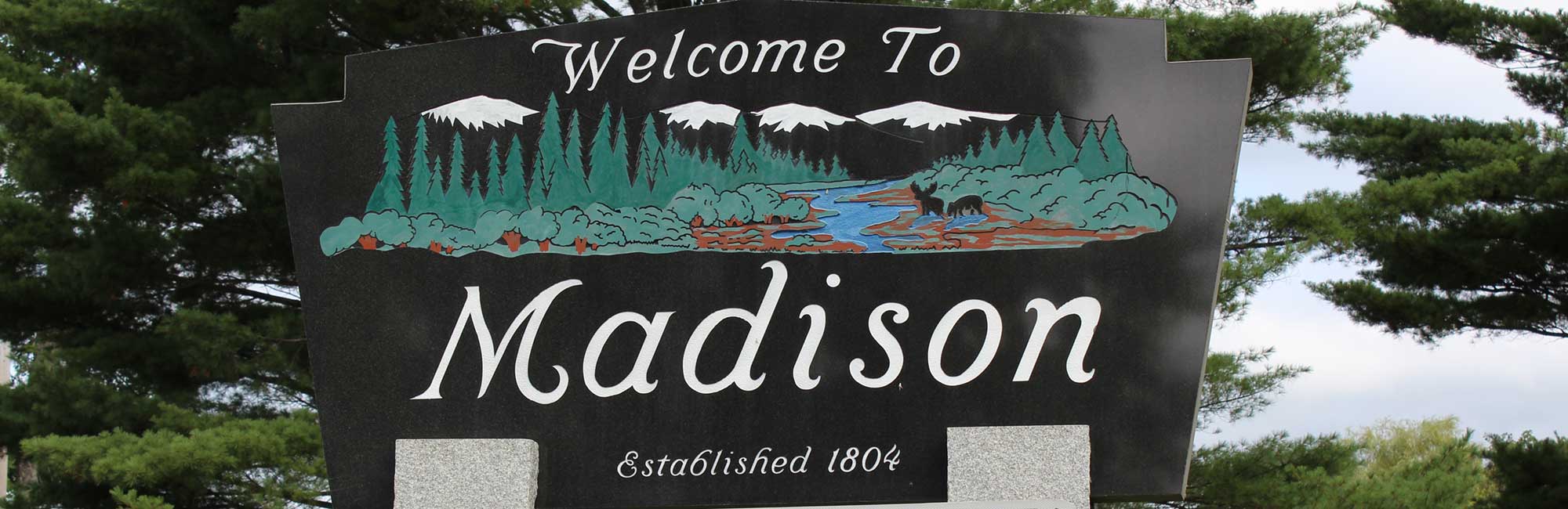


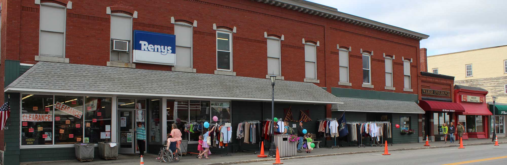


Madison Village Area
Click here to watch a video explaining more about the Madison Village Area
Statement of Purpose: Certain areas of the Town of Madison are more densely populated. The purpose of this chapter is to set a boundary to be called the Madison Village Area where there is a population density of at least 500 residential dwellings per square mile. This chapter serves as a reference point for future ordinances that may pertain to protecting property values in densely populated areas.
Definition: An area within the Town of Madison consisting of more densely populated homes and businesses.
Criteria: More than 500 residential homes per square mile.
Area: The intersection of Kennebec Street and Old Point Avenue marks the beginning of the Village Area extending northbound along Old Point Avenue through the intersection with Main Street and continuing to the intersection of Old Point and Wedge Street. The intersection of Water Street and Main Street marks the beginning of the Village Area extending eastbound along Main Street to the Madison Area Health Center on Garden Street. The Village area extends along Preble Avenue to the intersection with Cedar Street, along Madison Avenue to the intersection with Learner’s Lane, along Park Street to the entrance to Forest Hill Cemetery and also includes Nathan Street to the Madison Boat Landing.
See a map of the proposed Madison Village Area

